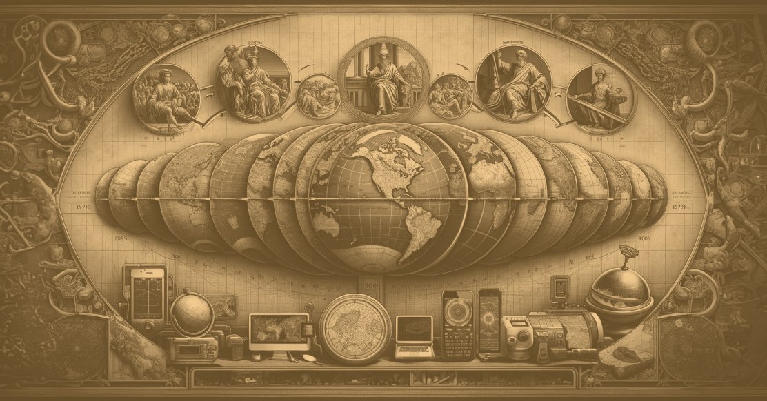
History of Maps Around The World: A Journey from Ptolemy to GPS
In a world shaped by the intricate tapestry of geography, maps have emerged as indispensable tools that navigate us through the complexities of our surroundings. From ancient parchment charts to cutting-edge digital displays, the evolution of map-making mirrors the profound transformations in human civilization.
Throughout history, maps have been pivotal in defining territories, aiding in explorations, and shaping societal perceptions of the world. They serve as visual records of geographical boundaries, trade routes, and evolving landscapes, portraying the dynamic nature of human existence.
The advent of GPS and digital mapping technologies has not only enhanced the accuracy of maps but has also transformed how we perceive space. These technological advancements have made maps more interactive and accessible, catering to various user needs, from navigation to environmental planning.
But today, maps have become more than navigational aids; they hold a cultural and historical significance, encapsulating the collective experiences of humanity.
Early Maps and Map-Making
Our journey into the history of maps begins, as civilization itself did, in Mesopotamia. More specifically, it begins in the city of Babylonia with the Babylonian Map of the World, also known as the Imago Mundi, an ancient artifact that serves as a testament to humanity's early fascination with cartography.
A remarkable relic from ancient Mesopotamia dating back to the 6th century BCE, the Imago Mundi stands as one of the earliest known maps, providing a glimpse into the geographical knowledge of the Babylonians.
Carved onto a clay tablet, this early map provides a unique window into the Babylonians' perception of their world. The Imago Mundi is not a precise geographical representation but rather a symbolic depiction, with Babylon at its center.
Its significance lies in its portrayal of the known world at the time and the Babylonians' attempt to capture the essence of their expanding civilization.
The inclusion of mythical creatures and landmarks conveys not only geographical information but also cultural and religious narratives, illustrating the interconnectedness of early mapping with broader aspects of human life.
Early Mapping's Record and Learning Role
Early maps served as invaluable repositories of knowledge, embodying the cumulative wisdom of ancient civilizations. In a preliterate era, these maps were instrumental in preserving and transmitting information. They functioned as didactic tools, aiding in the education of individuals about their surroundings, trade routes, and celestial phenomena.
These maps weren't just static representations; they were dynamic records, constantly evolving as new discoveries were made. The act of map-making became a collaborative endeavor, where each generation contributed to the collective understanding of the world.
Diversity in Early Mapping Efforts
The cartographic endeavors of different civilizations reflected their unique perspectives, values, and priorities.
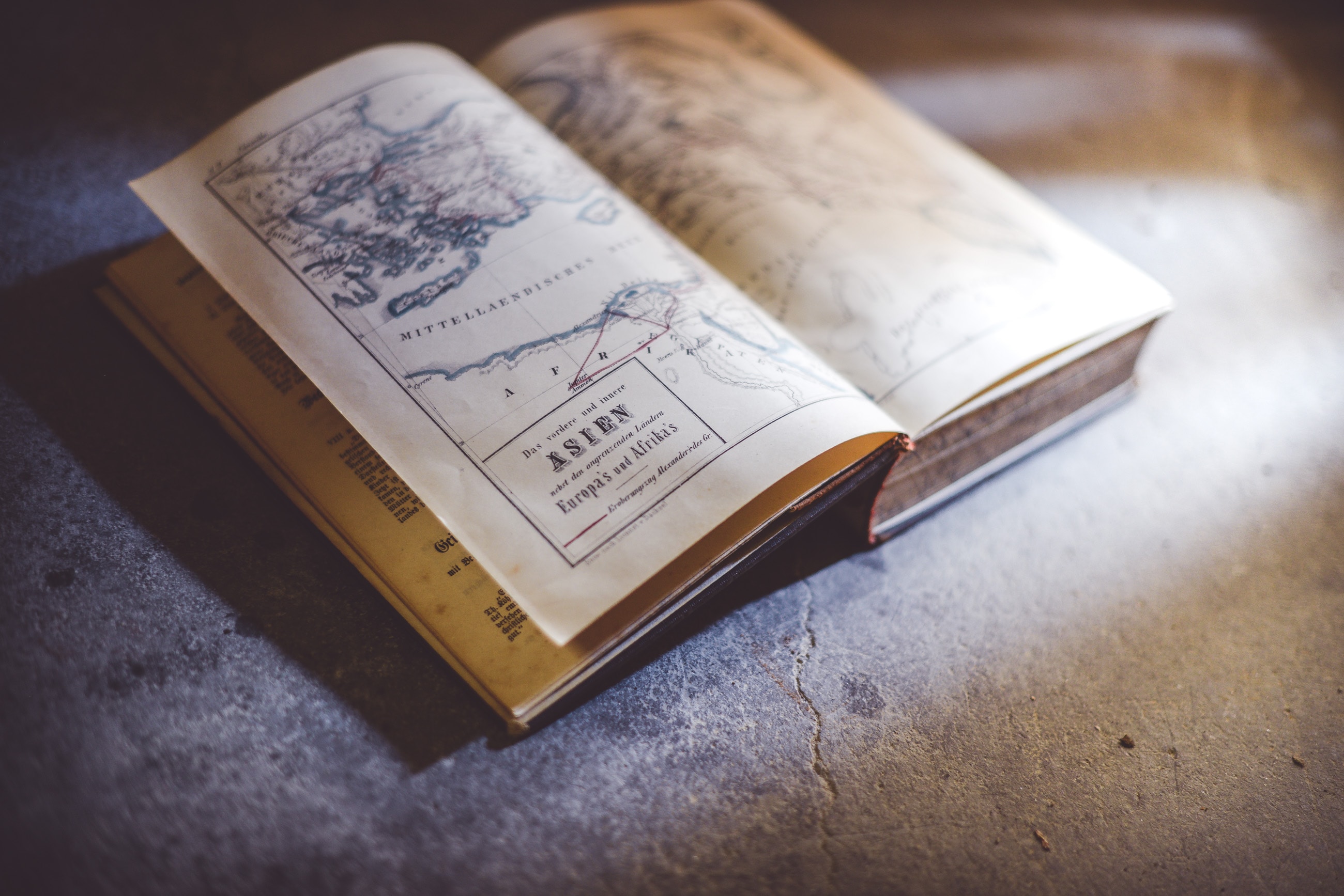
From the intricate Ptolemaic maps of Hellenistic Greece, emphasizing mathematical precision and astronomical knowledge, to the vivid Mappa Mundi of medieval Europe, blending religious symbolism with geographical elements, early maps were diverse in both form and content.
The diversity in early mapping efforts stems from a confluence of cultural, technological, and philosophical factors, shaping distinct cartographic traditions across various civilizations. Several key elements contribute to the richness and variety observed in early maps:
Cultural Perspectives
Different cultures approached map-making with unique worldviews and priorities. For example, the ancient Greeks, particularly during the Hellenistic period, produced maps with a strong emphasis on mathematical precision and astronomical observations.
In contrast, medieval European Mappa Mundi often integrated religious symbolism, depicting not only geographical features but also biblical events and mythical creatures. The cultural context influenced the selection of information deemed essential for representation.
Technological Constraints
The available technological tools and materials influenced the visual styles and details of early maps. The Babylonian Imago Mundi, carved on clay tablets, and medieval European maps on parchment were limited by the materials at hand.
These constraints not only affected the size and scale of maps but also contributed to the distinctive artistic styles and methods employed by different civilizations.
Navigational Needs
Maps served diverse purposes, ranging from aiding navigation to representing territorial boundaries. Sea-faring civilizations, such as the Polynesians, crafted stick maps focused on oceanic navigation, often highlighting celestial navigation cues and wave patterns.
On the other hand, land-centric maps, like those created by ancient Chinese cartographers, emphasized topographical features and administrative divisions. The diversity in navigational requirements influenced the content and structure of maps.
Scientific Understanding
Varied levels of scientific knowledge among civilizations resulted in different approaches to map-making. The Greeks, with their advancements in mathematics and astronomy, produced maps that incorporated a more systematic and empirical understanding of the Earth's surface.
In contrast, cultures with limited scientific knowledge relied on empirical observations and local knowledge, leading to maps that were more subjective and symbolic in nature.
Trade and Exchange
Maps were essential tools for trade and commerce, and regions engaged in extensive trade often produced maps with a focus on trade routes, commodities, and market centers.
The Silk Road, for instance, witnessed the creation of maps reflecting the interconnected trade networks between East and West. The influence of trade on map content and design contributed to the diversity of mapping traditions.
In essence, the diversity in early mapping efforts arises from the interplay of cultural, technological, navigational, scientific, and economic factors, collectively shaping the unique characteristics of each civilization's cartographic expressions.
Each map becomes a reflection not only of the physical geography it represents but also of the cultural and intellectual landscape of the society that produced it.
Maps and GPS in Early Human Navigation
Navigating the vast expanses of the Earth before the advent of modern technology required an intricate dance between human observation, environmental cues, and the development of mental maps.
This section delves deeper into the ingenious methods employed by early humans for navigation, contrasting them with the precision of modern Global Positioning System (GPS) technology.
Celestial Navigation
Before the era of GPS satellites, ancient seafarers and land explorers looked to the skies for guidance. Celestial navigation, a technique that involved using the stars, sun, and moon as reference points, played a pivotal role.
Polynesian wayfinders, for instance, utilized the positions of stars, the movement of celestial bodies, and the patterns of ocean currents to navigate vast stretches of the Pacific Ocean. This intricate understanding of the celestial sphere allowed for surprisingly accurate and long-distance voyages.
Landmarks and Environmental Cues
On land, early humans relied heavily on natural landmarks and environmental features for orientation. Indigenous peoples developed an intimate knowledge of their surroundings, creating mental maps that included distinctive trees, rock formations, and river patterns.
The ability to read subtle changes in the landscape, such as shifts in vegetation or the behavior of animals, became crucial for successful navigation. These mental maps served as dynamic tools, constantly evolving based on the individual's experiences and observations.
Primitive Mapping Tools
While lacking the sophistication of modern instruments, early humans crafted primitive mapping tools to aid in navigation. These tools included simple charts, compass-like devices, and rudimentary measuring instruments.
The ancient Greeks, for instance, developed the astrolabe for measuring the altitude of celestial bodies, enhancing their navigational capabilities both at sea and on land.
Cognitive Mapping
The cognitive mapping abilities of early humans were remarkable. Nomadic tribes, for instance, developed an innate sense of direction, allowing them to traverse vast territories with minimal reliance on external aids.
This cognitive mapping involved memorizing intricate details of the landscape, such as distinctive rock formations, water sources, and elevation changes. The mental maps created through cognitive processes were crucial for survival in diverse environments.
Contrast with Modern GPS Technology
The introduction of GPS technology revolutionized navigation by providing precise and real-time location information. Unlike the reliance on celestial bodies and environmental cues, GPS offers a systematic and global positioning system that utilizes satellites in orbit.
The accuracy and accessibility of GPS have transformed navigation into a streamlined and efficient process, eliminating much of the uncertainty associated with early methods.
By juxtaposing these early navigation techniques with the capabilities of GPS, we gain a profound appreciation for the resourcefulness and adaptability of early humans.
While modern technology has undeniably enhanced our ability to navigate, it's essential to recognize the ingenuity that characterized early human exploration and the development of mental maps that guided them across diverse terrains.
Ptolemy's Influence and Mathematical Mapping
Claudius Ptolemaeus, commonly known as Ptolemy, left an indelible mark on the annals of cartography and geographic understanding. His treatise, "Geographia," laid the groundwork for a standardized geographical system that was revolutionary for its time.
Not only did it introduce the fundamental concept of longitude and latitude lines, but it also meticulously cataloged an extensive array of geographic information.
Ptolemy's emphasis on mathematical precision in mapmaking was groundbreaking, showcasing a sophisticated approach that would shape cartography for centuries to come.
The systematic and methodical nature of his work enabled the accurate representation of the Earth's spherical form on a two-dimensional surface, a feat that significantly advanced the field of mapmaking.
The legacy of Ptolemy's contributions endured across centuries, as evidenced by its profound influence on geographic scholarship. His methodologies became guiding principles for cartographers, driving geographical perceptions and explorations through various ages.

The Middle Ages and Islamic Advancements in Mapping
During the Middle Ages, maps were profoundly influenced by religious ideologies. The prevailing worldview of the time, deeply entrenched in religious beliefs, was reflected in cartography.
Jerusalem-Centered World Maps and Decorated Mapping
Jerusalem-centered world maps, such as the Hereford Mappa Mundi or T-O maps, served not only as navigational aids but also as visual representations of the medieval Christian worldview.
The maps were adorned with religious symbols, biblical events, and depictions of exotic creatures, emphasizing the intertwining of cartography with religious zeal and cultural beliefs.
Jerusalem, as the focal point of medieval maps, symbolized both a physical destination for pilgrims and a spiritual center for Christians. The maps were characterized by elaborate decorations, intricate illustrations, and a fusion of religious and geographical elements.
The Ebstorf Map, for example, depicted the Earth as a circular disc with Jerusalem positioned prominently at its center. These decorative maps not only facilitated navigation but also served as tools for religious instruction and reflection, showcasing the medieval perception of the world.
Islamic Cartographic Advancements
Concurrently, the Islamic world experienced significant advancements in cartography during the Middle Ages. Scholars like Muhammad Al-Idrisi made significant contributions to mapping.
Al-Idrisi's seminal work, Nuzhat al-Mushtaq fi Ikhtiraq al-Afaq, known commonly in the west as the Tabula Rogeriana or The Book of Roger, which was commissioned by the Norman King Roger II of Sicily, was a groundbreaking geographical encyclopedia.
This book was a comprehensive geographical compendium that drew upon knowledge from diverse cultures. This Islamic cartographer's meticulous maps incorporated accurate measurements, detailed coastlines, and a blend of Ptolemaic and Arabian geographical knowledge.
Al-Idrisi's contributions marked a departure from earlier religious-centric maps, emphasizing empirical observations and scientific principles in map-making.
His meticulously detailed maps and geographical descriptions represented an impressive compilation of geographical knowledge, showcasing the Islamic world's advancements in cartography during that era.
GPS and Modern Navigation
Fast-forward to the present, and the evolution of mapping technology has reached unprecedented heights with the advent of Global Positioning System (GPS). Unlike the religiously influenced maps of the Middle Ages, GPS provides a secular and precise tool for navigation.
The satellites that make up the GPS network enable individuals to determine their exact location anywhere on Earth with remarkable accuracy. This technological leap has revolutionized travel, logistics, and countless other industries by offering real-time navigation assistance.
The impact of GPS on modern navigation transcends geographical boundaries, providing a level of convenience and efficiency unimaginable in earlier eras.
As we reflect on the Middle Ages and the Islamic advancements in mapping, juxtaposed with the contemporary influence of GPS, we witness the dynamic interplay between religious, cultural, and scientific factors in shaping our understanding of the world across different historical epochs.
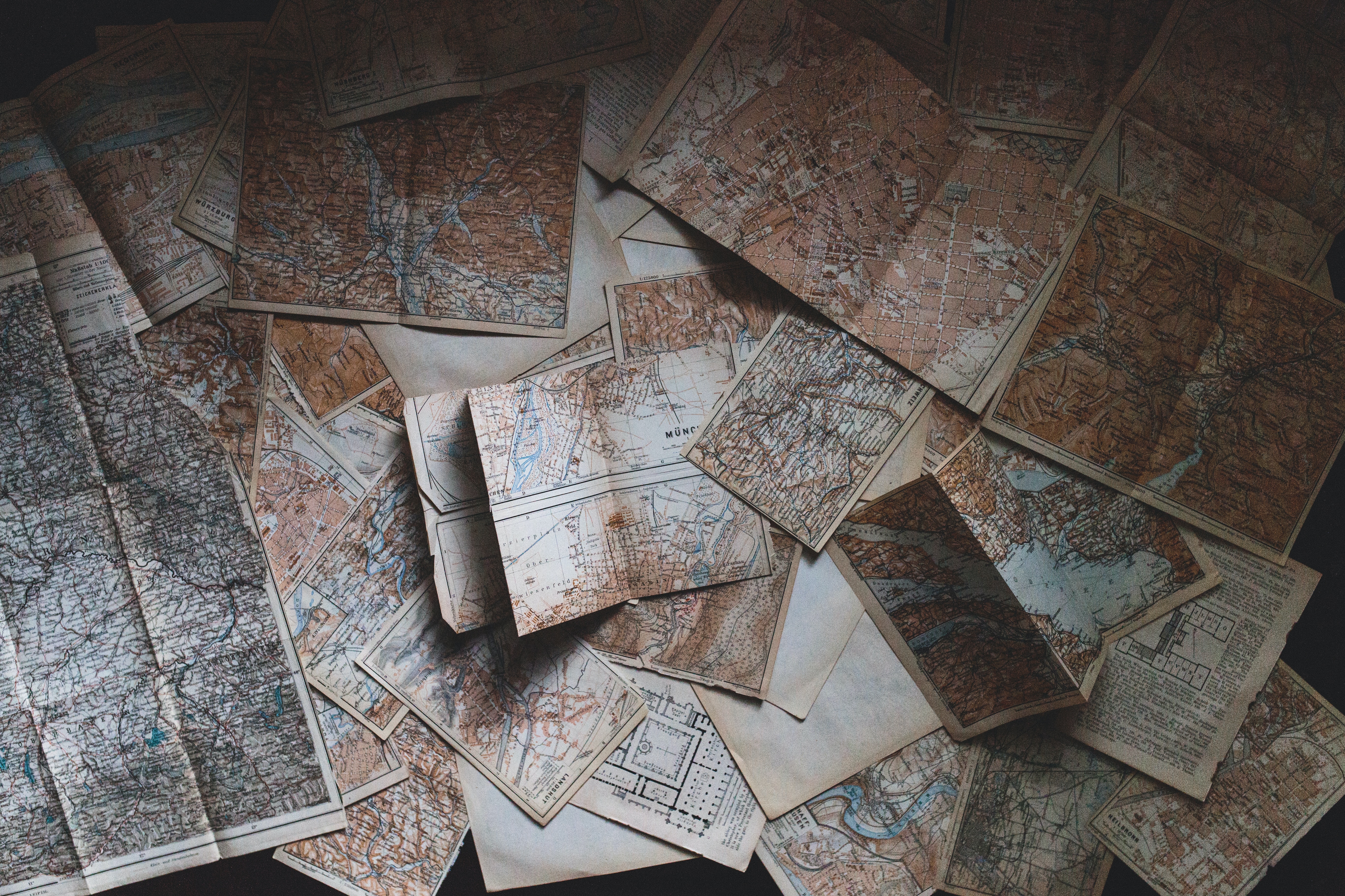
Post-Middle Ages Mapping
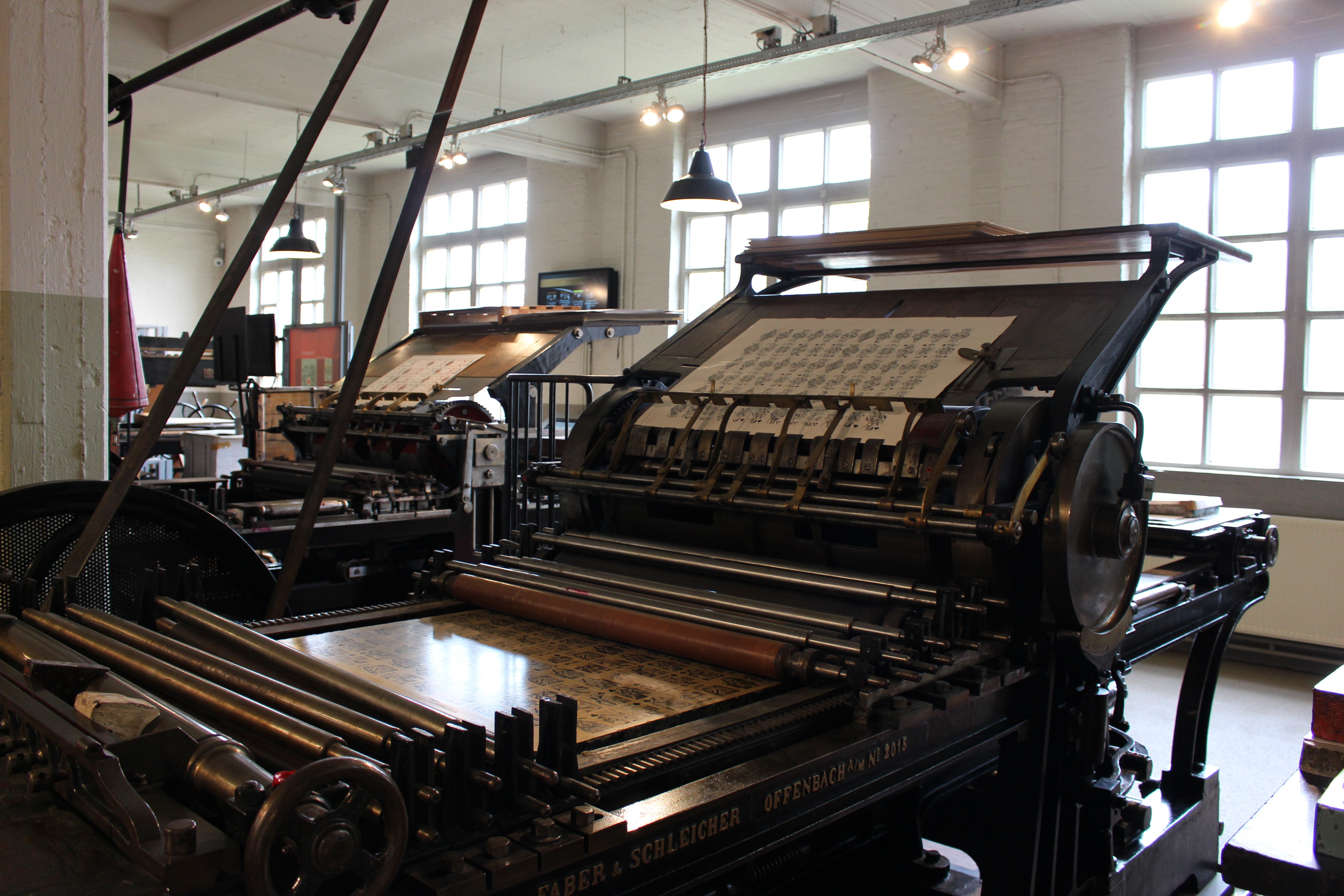
The Renaissance period marked a significant turning point in mapping. It ushered in an era of renewed interest in classical knowledge, including the works of Ptolemy, which greatly influenced mapping techniques.
The invention of the printing press enabled the mass production of maps, leading to wider dissemination and accessibility. This period saw an increased emphasis on accuracy and detailed representation of geographical knowledge, laying the foundation for modern cartography.
With the expansion of geographic knowledge during this period, maps became more complex and detailed. Explorations and discoveries in the Age of Exploration fueled a surge in cartographic accuracy.
Maps began incorporating newly discovered lands and accurate depictions of coastlines, contributing to a better understanding of the world. However, the complexity of maps increased as cartographers strived for more detailed representations of the expanding world.
Modern Mapping: Precision in the Palm of Your Hand
In the 21st century, mapping has undergone a revolutionary transformation, thanks to cutting-edge technologies that have made precision navigation and accessible mapping a reality for people worldwide.
A convergence of satellite imagery, GPS technology, and advanced mapping applications has reshaped the way we perceive and interact with our surroundings.
-
GPS Technology: At the forefront of modern mapping is the Global Positioning System (GPS), a constellation of satellites orbiting the Earth that enables accurate positioning and navigation. GPS receivers, now ubiquitous in smartphones and dedicated navigation devices, provide users with real-time information about their location, speed, and direction.
-
Satellite Imagery and Remote Sensing: Earth observation satellites capture high-resolution images of the planet's surface, allowing for detailed mapping of landscapes, urban areas, and even dynamic changes over time. Remote sensing technologies, including aerial photography and LiDAR (Light Detection and Ranging), enhance our ability to create three-dimensional maps and understand terrain features with unprecedented precision.
-
Mapping Applications and Geographic Information Systems (GIS): The advent of mapping applications and Geographic Information Systems (GIS) has democratized access to maps and geospatial data. Platforms like Google Maps provide users with interactive, real-time maps accessible from smartphones and computers. These applications offer not only navigation but also layers of additional information, such as points of interest, traffic conditions, and public transportation routes.
-
Crowdsourced Data and Open Mapping: The concept of open mapping, where users contribute to map creation and updates, has fostered collaborative efforts in maintaining accurate and up-to-date maps. Platforms leverage crowdsourced data to create a dynamic and community-driven mapping ecosystem. Users can add details such as new roads, landmarks, and points of interest, ensuring that maps reflect the most current and comprehensive information.
In the contemporary era, mapping has transcended its utilitarian origins to become a dynamic and accessible tool for individuals, businesses, and governments alike.
The integration of GPS, satellite imagery, mapping applications, and emerging technologies continues to redefine how we navigate and understand our world, bringing the power of precise mapping into the palm of our hands.
As technology advances further, the future promises even more innovative developments in the field of cartography, further enriching our exploration and comprehension of the spatial realm.
Maps have evolved into critical tools used extensively in diverse fields. From urban planning and environmental management to disaster response and military operations, maps play a pivotal role in decision-making processes.
They provide crucial spatial information, aiding in analyzing patterns, making informed decisions, and understanding complex relationships within geographical areas. Modern maps are not just static representations but dynamic tools that support data visualization, analysis, and interpretation across different domains.
Characteristics of Typical Modern Maps
Typical modern maps exhibit specific characteristics that distinguish them from their predecessors. They are often interactive and digital, accessible through various devices like smartphones and computers.
These maps offer customization options, allowing users to personalize their view by toggling layers, adding markers, or accessing real-time data overlays.
Furthermore, modern maps frequently integrate geospatial information, enabling users to access detailed data such as traffic conditions, weather forecasts, and points of interest in real-time.
One of the challenges in modern cartography lies in managing and deleting GPS history. As GPS technology tracks and records location data, managing this vast pool of historical information becomes crucial.
|
Modern Mapping Aspect |
Description |
|---|---|
|
Technology |
Heavily reliant on modern satellite systems with high-resolution imagery. |
|
Precision |
Offers exceptional accuracy and detail due to advanced technology. |
|
Applications |
Widely employed in diverse fields like urban planning, disaster response, day-to-day life, and more. |
|
Interactivity |
Often interactive, digital, and accessible on various devices. |
|
Customization |
Offers customization features allowing users to personalize their view. |
|
Data Integration |
Integrates real-time data overlays such as traffic conditions, weather, and more. |
The Future of Mapping
In the annals of history, maps have long been regarded as indispensable tools, primarily employed for navigation, strategic planning, and territorial delineation. However, in the contemporary landscape of technology and innovation, the traditional role of maps has undergone a remarkable evolution.
No longer confined to the realm of utilitarian functionality, maps have transcended their navigational origins to become poignant canvases for preserving cherished memories. Here at MixPlaces, we’re redefining the purpose of maps by infusing them with sentimental value.
This shift marks a paradigmatic departure, illustrating that maps are not just instruments for geographical orientation but also powerful vehicles for commemorating and reliving the meaningful places that shape the tapestry of our lives.
What sets us apart is our commitment to creating not just custom maps but emotional artifacts that capture the essence of our personal journeys. The intersection of technology, artistry, and sentimental value makes MixPlaces a trailblazer in the realm of personalized mapping.
Maybe the world has already been mapped— we already know what countries are in which continent and what oceans divide them and we know the fastest way to get from point A to point B— but that doesn't mean maps are old news.
It only means maps are able to be used for other things that haven’t been mapped out yet. For your experiences, your stories, your adventures. Now, you can make maps what means most to you, maps to your heart, with MixPlaces.